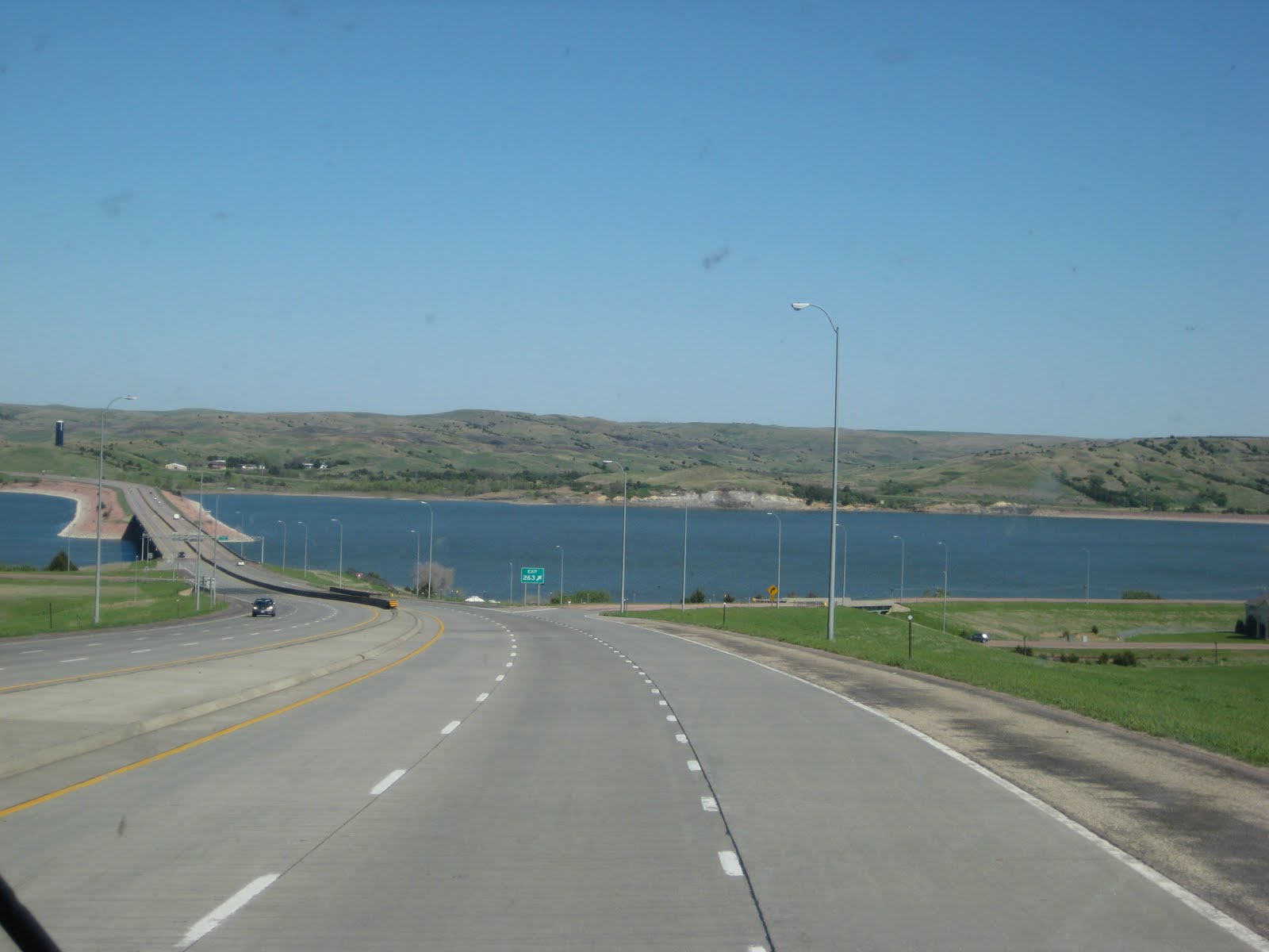
We headed west from Mitchell across I-90. The terrain in eastern South Dakota was mostly farmland with rich dark soil. Corn, hay, or cattle are the primary farming industries. Once we crossed the Missouri River, picture below, the topography changed.
 We were now traveling across some rolling hills with a few buttes and mesas; now it looked like we were in a scene from a western movie. We traveled through the Badlands and into the shadows of the Black Hills.
We had seen 8 billboards for the Firehouse Brewing Company, located in the City of Presidents, Rapid City, South Dakota. Many of the billboards had an antique fire engine at the base of the billboard, all parked along I-90. The fire engines looked out of place sitting on the western ranch land. Yes, it caught our attention and, being fans of good food and a cold microbrew, we decided to try it out for dinner.
 The brew pub is in the town's original fire station and had many fire house antiques displayed inside the restaurant. Here are some of our favorites.


Most of the downtown street corners had statues of various presidents. The City of Presidents is Rapid City, South Dakota; due to its proximity to Mount Rushmore.
On Tuesday, we will play tourist and explore South Dakota's Black Hills. The Black Hills are the highest point east of the Rockies and contain 18 peaks that exceed 7,000 feet in elevation.
On Tuesday, we will play tourist and explore South Dakota's Black Hills. The Black Hills are the highest point east of the Rockies and contain 18 peaks that exceed 7,000 feet in elevation.
No comment on if the beer was good?
ReplyDelete